
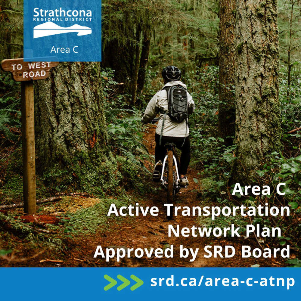
The Strathcona Regional District has its first Active Transportation Network Plan for Electoral Area C.
It was developed in collaboration with community members, key interest groups, and We Wai Kai First Nation.
The SRD says public engagement helped to better understand existing network gaps and establish priorities for advancing active transportation opportunities.
Barriers to walking and cycling were noted, including inadequate roadside shoulders, blind corners, narrow lanes, steep terrains, vehicle traffic, speed limits, and a lack of dedicated active transportation infrastructure.
A need for greater connectivity across Quadra Island, along with improved trail conditions, was also noted.
The project was supported by funding from the Province of BC’s Active Transportation Infrastructure Grants Program.
For more information about the Area C ATNP, visit Strathcona Regional District.
 Wildfire Update
 Partial Road Closure on Hilchey Road for Work on Bike Lanes
 Harrogate Road and Erickson Road Intersection Closure Extended to September 4th
 Comox Valley RCMP warns about fake social media posts
 RibFest at Village Park August 21-23