
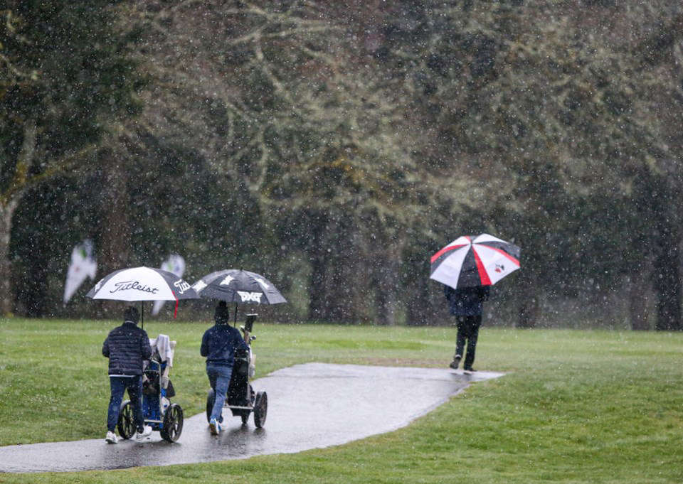
There’s a lot of rain in the forecast for the next couple weeks.
People living on Vancouver Island, in the Lower Mainland, and on the North and Central Coast can expect stormy weather between now and Monday.
This type of seasonal storm is typical for the region and is not unusual for this time of year.
Environment Canada forecasts a narrow band of heavy precipitation moving through the North and Central Coast today and Vancouver Island and the Lower Mainland tomorrow.
Otherwise known as atmospheric rivers, narrow bands of heavy precipitation such as this are common in British Columbia and many occur every year, most commonly in the fall and early winter.
The River Forecast Centre closely monitors forecasts and will issue advisories and warnings should they be required. At the end of a drought, this influx of precipitation can cause flooding. However, extreme weather, such as the mid-November 2021 events, is rare and not forecasted at this time.
West Vancouver Island, the North Shore Mountains, the Sunshine Coast and Howe Sound can expect between 40 and 80 mm.
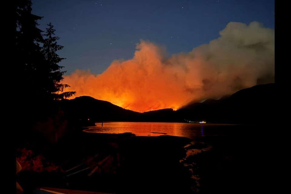 Wildfire Update
 Partial Road Closure on Hilchey Road for Work on Bike Lanes
 Harrogate Road and Erickson Road Intersection Closure Extended to September 4th
 Comox Valley RCMP warns about fake social media posts
 RibFest at Village Park August 21-23