
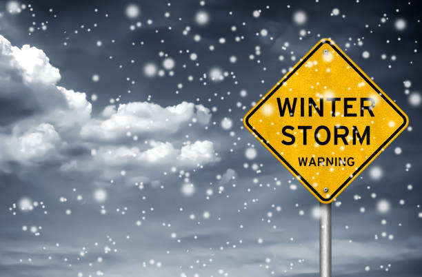
Environment Canada has issued a Winter Storm Watch for East Vancouver Island, including Courtenay to Campbell River, along with Southern Gulf Islands, Malahat Highway, and Greater Victoria.
There’s the potential for snowsqualls producing up to 20 cms of snow in some areas.
Two rounds of heavy snow are possible due to cold low and arctic outflow winds.
The first will occur near midday to late this afternoon as northwest and southeast winds collide over the Strait of Georgia.
Forecasters say these bands will have the opportunity to move onshore from near Comox to Mill Bay.
While the snow will become light further south, snowsqualls could persist between Qualicum Beach and Fanny Bay throughout the day.
The second round will come in the form of sea-effect snow beginning overnight tonight or tomorrow morning and lasting through to Tuesday night.
This second scenario will concentrate the heavy snow between Nanaimo and Victoria, as well as parts of the Southern Gulf Islands.
For details, visit Environment Canada.
 Police Seeking Witnesses In Recent Stabbing
 RCMP Seek Public Assistance In Locating Missing Man
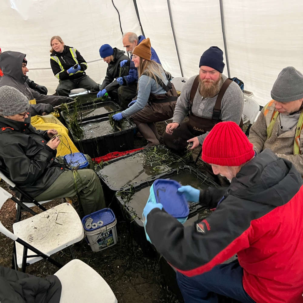 Volunteers Needed For Estuary Restoration Project
 SD 72 Facing Budget Pressure As Enrolment Declines
 Lane Closure On Veterans Memorial Parkway In Courtenay Today