

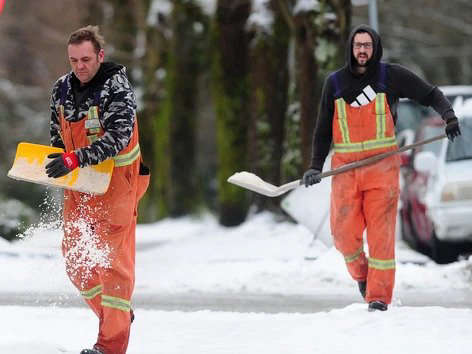
Expect another blast of winter weather is on its way this week.
Environment Canada has issued a special weather statement for East Vancouver Island - from Courtenay to Campbell river, Duncan to Nanaimo, and Nanoose Bay to Fanny Bay.
Snowfall is expected Tuesday afternoon through Wednesday morning.
Cooler air will stay in place until tomorrow morning when a low pressure system traveling down the BC coast will spread snow to Vancouver Island beginning Tuesday afternoon.
Snowfall amounts will be variable with Inland Vancouver Island seeing the highest accumulations of near 15 cm.
Elsewhere, the snow should become mixed with rain by Wednesday morning as a strong southeast flow brings milder air and higher freezing levels over much of Vancouver Island.
 d’Esterre Seniors' Centre Celebrates 50 Years In The Community
 Construction On Lake Trail Multi-Use Path In Courtenay To Begin Next Month
 Community Crisis Teams Connect More People To Support
 Work Zone Safety
 Heat Dome Anniversary