

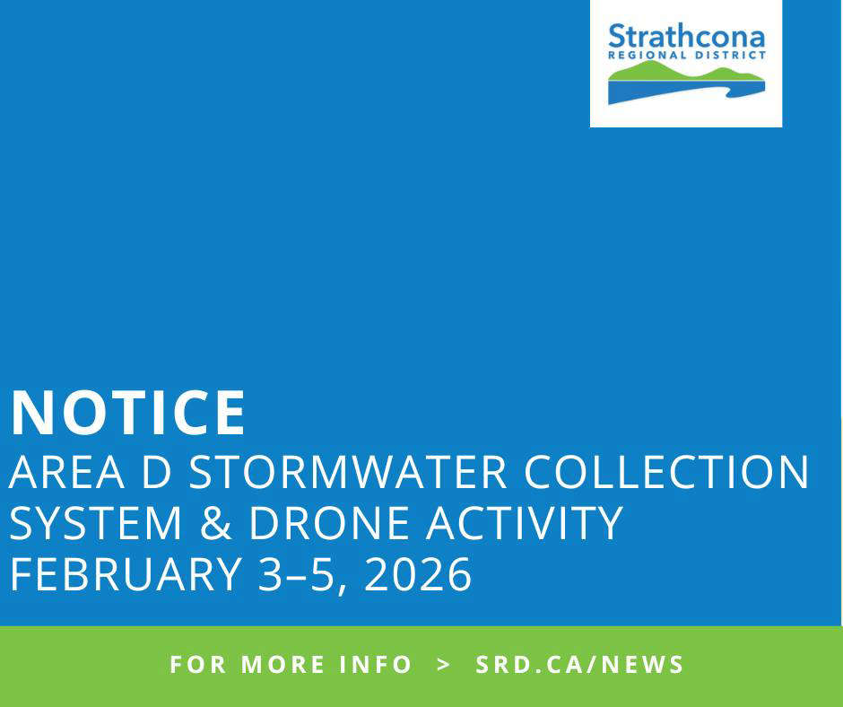
The Strathcona Regional District is moving forward with the design of a new stormwater collection system for Electoral Area D, aimed at reducing localized flooding, surface ponding and runoff issues.
The project will provide a formal stormwater management system for three catchment areas: Catchment C, Catchment E, and the Oyster River Rest Area.
As part of the design work, drone operations are underway to capture aerial photography of the areas where the system is planned to be installed.
In Catchment C, drone activity will cover Engles Road, Stuart Place, Sutil Road, and Mitlenatch Drive between Redonda Way and the Island Highway.
Catchment E work will include McGimpsey Road, Marina Road, Meriwood Road, Castle Drive, and Wavecrest Road between 220 McGimpsey Road and the Island Highway.
A third area includes the Oyster River Rest Area along the Island Highway between 4323 Island Highway and Oyster Garden Road.
The SRD says residents can expect to see personnel in these areas during the work period, including crews setting up GPS and ground control targets.
Once aerial photography is complete, the SRD and its consultants will continue with the design of the stormwater system.
Further updates are expected once the design work is finalized.
For more information, visit Strathcona Regional District.
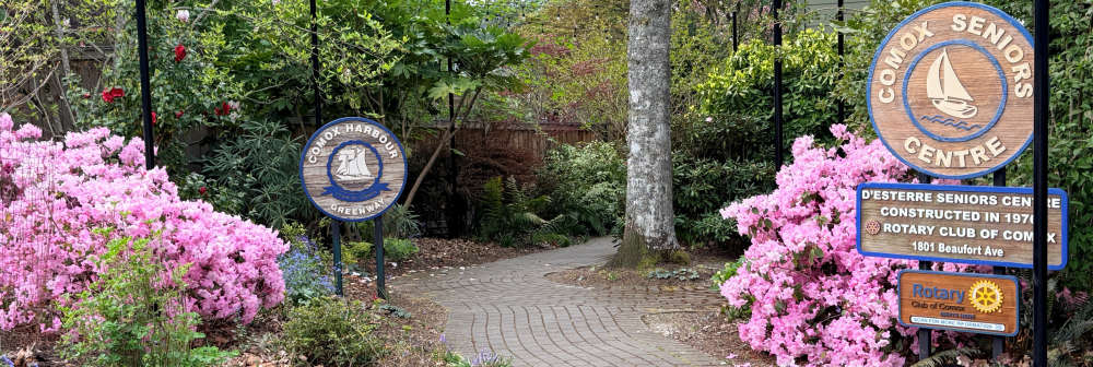 d’Esterre Seniors' Centre Celebrates 50 Years In The Community
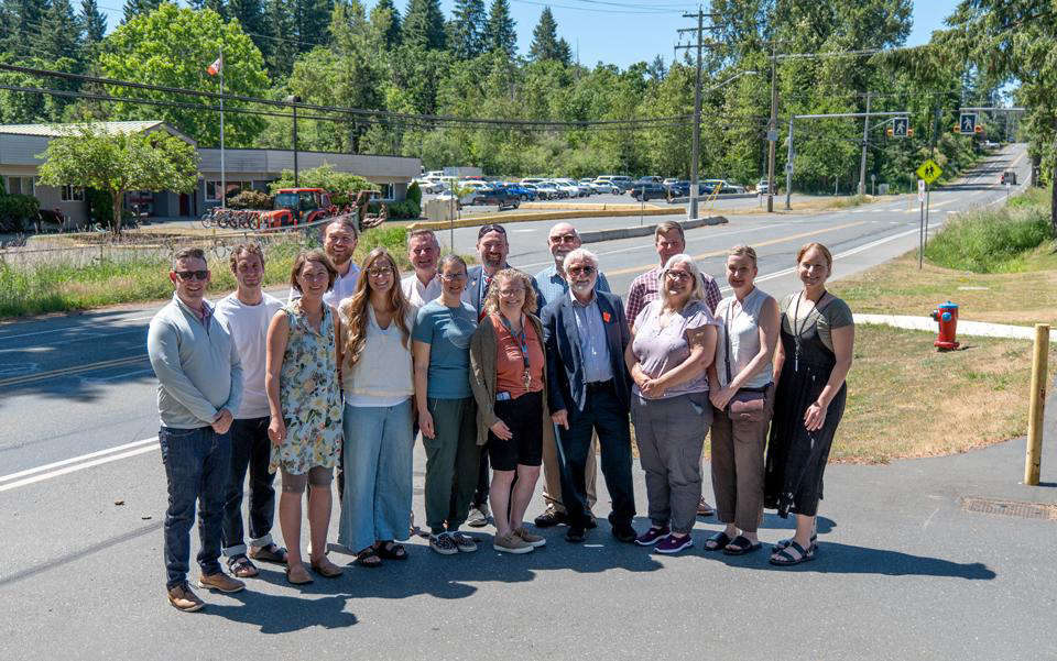 Construction On Lake Trail Multi-Use Path In Courtenay To Begin Next Month
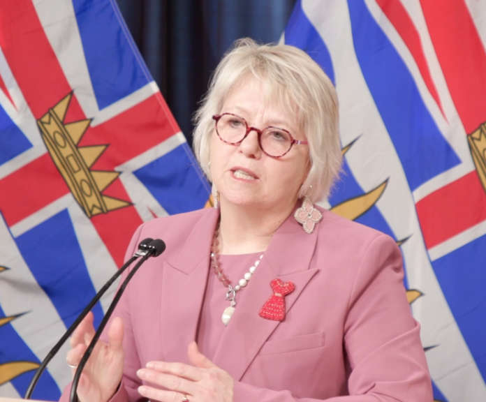
 Community Crisis Teams Connect More People To Support
 Work Zone Safety
 Heat Dome Anniversary