


An online survey ends today as the Strathcona Regional District develops an Active Transportation Network Plan for Electoral Area C, aimed at enhancing transportation options for residents through walking, cycling, and wheeling.
The ATNP will serve as a roadmap for improving active transportation conditions across Quadra Island and its connections to outer communities.
The plan will be developed in collaboration with community members to identify priority improvements that enhance safety, connectivity, and accessibility for people of all ages and abilities, including those with disabilities.
Projects identified in the plan will also help inform the development of a future Master Transportation Plan and update to the Official Community Plan.
The ATNP is intended to enhance access to key destinations throughout Electoral Area C, such as parks, schools, services and amenities, and neighbouring communities.
Take the survey and learn more at Active Transportation Network Plan.
 Comox Acquires Land For New Public Park
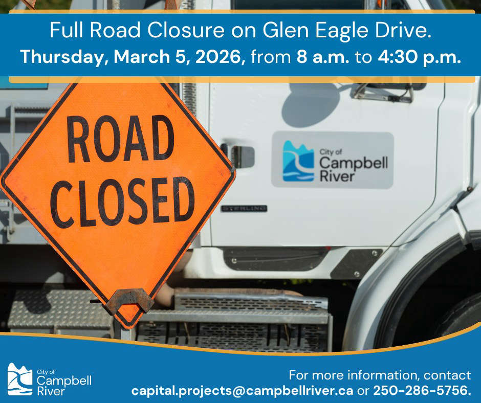 Road Closure For Glen Eagle Drive Water Repair
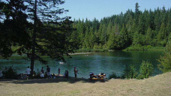 Work To Begin Soon On Puntledge River Recreation Area Trail Improvements
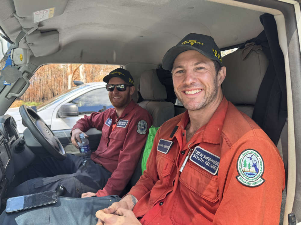 BC Wildfire Service Staff Welcomed Home From Australia
 Chief Coroner Directs Inquest into Tumbler Ridge Deaths